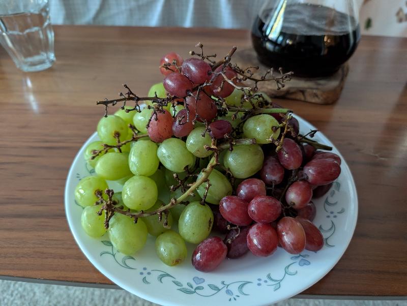
A moment of peace and joy. Finishing up a good book. Appreciating the soft light. A pile of grapes. Brewing coffee. A hug.
Mesmerized by ripples.
Mesmerized by steam.
One command to strip audio and metadata and resize:
ffmpeg -i PXL_20261010_162838586.mp4 -vf scale="500:-2" -an -map_metadata -1 steam.mp4

# Compare with
ffprobe PXL_20261010_162838586.mp4Last night we kayaked on Tomales Bay with a guided tour with Blue Waters Kayaking. The recent deaths of two people in the bay were on our mind. We’d forgotten about another drowning earlier in the year.
Maybe these deaths were on the mind of another person in our group. She decided not to join at the last minute, after donning all the gear and trying out sitting in a couple kayaks.
The water was calm and the sky overcast, one day away from a new moon. City lights down the bay, street lights near the dock, and the occasional blinding pair of headlights from the road kept it from being perfectly dark, but it was dark enough, especially towards the opposite shore to see the bioluminescent sparkles and glow from the dinoflagellates disturbed by our paddles and splashing. Others in the group saw the outlines of fish lit up, including a bat ray.
(Is a dinoflagellate the same as a diatom? No.)
The lead guide told us that her favorite sea animal is Noctiluca scintillans since it gives her a job. Otters were the overall group favorite.
By the opposite shore, we picked up water and tossed it, each drop hitting the surface a sudden circle of light, bright points of light showing up spontaneously on our hands, taking a few seconds to fade.
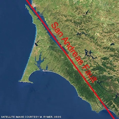
Each person holding onto a kayak next to them, we formed a raft in the bay. “A group of otters is called a raft,” the lead guide told us. We learned the bay was formed by the San Andreas fault, which runs right down the middle of it. She said that during an earthquake, she’d prefer to be on the water. I think I would still choose the land.
Despite bumping into other kayaks and getting bumped and getting stuck briefly on a rock — finally, a guide gave our kayak a shove to free us — it was all pretty smooth. I was surprised how fast we were able to glide across the water to catch up with the dim yellow lights of the lead.
(Can we recreate that map above? Seems like maybe yes. Park boundaries are here: https://irma.nps.gov/DataStore/Reference/Profile/2224545?lnv=True. GIS files for the faults seem to be here: https://www.usgs.gov/programs/earthquake-hazards/faults. I’ll come back to it.)
Leave a Reply